Introduction
The Indian borders have included some of the most diverse topography in the world: Himalayan Mountain ranges, Rajasthan and Kutch desert zones, Bengal and Assam River delta regions, dense forests of the north east, and a coastline of over 7,500 kilometers. For much of its existence as an independent nation, India's definition of border security has consisted of fencing, flood lighting, and patrols along a line, designed to counter infiltration and the movement of troops. It has needed to adapt itself to the challenges of terrorism, drug trafficking, weapons smuggling, kidnapping, attacks from the sea, and drone incursions that cannot be deterred by any fence.
How India Secured Its Borders Earlier
For a long time after the country's independence, the border guarding agencies, namely the BSF, ITBP operating along the border between India and China, and the SSB operating along open borders of Nepal and Bhutan, followed the same principle – fencing where possible, lighting to make the situation obvious and visible, check posts along the routes, and BOPs manned 24/7 with foot patrols. It was straight forward enough to detect any movements, prevent unauthorized crossing and react from the point which is nearest. Taking into consideration available technologies and the fact that the threat was limited only to infiltration and smuggling through well-known areas, such an approach was rational and even sufficient for a long time, based on the assumption that a man’s eyes are the best sensors near to the border.
Why the Traditional Model Became Insufficient
This belief crumbled with the changing geography and threat environment. Barriers like fencing are ineffective in riverine sectors where rivers like Padma and Brahmaputra change their course each year due to the monsoons, as well as high altitude or marshy regions. Human observation is ineffective in the sense that it cannot pierce through the fog, cannot cover the entire kilometer and, most importantly, cannot be as vigilant during the night hours when infiltration takes place. The Kargil operations in 1999 pointed to yet another failing: infiltration along the Line of Control took place unnoticed by anyone for several weeks due to the disjointed nature of intelligence assessment carried out by different agencies in their silos without a mechanism to combine surveillance into one unified picture.
How India's Border Security Changed
These events made India follow a definable process of border security, physical fence security, followed by electronic surveillance tacked on to the physical fence, then an integrated border management system where sensors and the control room are combined, and finally, intelligence-based border security where the objective is to understand and not just detect. The CIBMS program, established following the Pathankot attack in 2016, is a step in this direction, the system integrates information from ground sensors, radars, and thermal cameras to command centers such that any alert generated by one of these is cross-referenced against information generated by the other systems before action is taken. On water, the NC3I Network, which is a system developed following the 26/11 attacks, serves a similar purpose, it combines information from radars and vessel tracking systems of navy and coast guard posts into a single operational picture.
Technologies Used Today
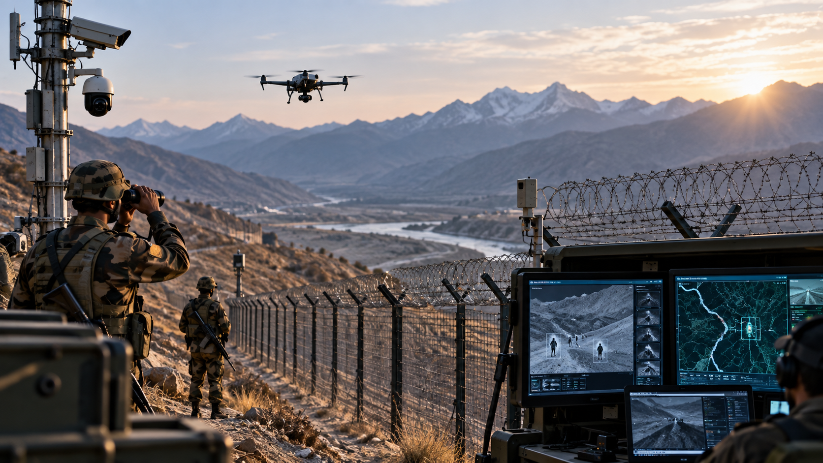
Modern technologies address some of the gaps that existed in the old system. Unmanned Aerial Vehicles like the Heron provides uninterrupted surveillance of terrain that is inaccessible to patrols, relaying real-time images at command posts. Thermal Imaging provides detection of heat signals where the naked eye is unable to see, covering the gap posed by night infiltration that static posts couldn’t handle. Surveillance radars provide detection capability in hill and forest covered terrain that static posts cannot detect. Ground sensors and smart fencing using lasers under CIBMS provide automatic detection along rivers that cannot be fenced off. In maritime areas, radar chains and the Automatic Identification System detect an unidentified vessel before it reaches shore. All of these don’t replace the soldier but extend what he sees.
How Technology Is Helping in Intelligence and Surveillance
What is actually more relevant is the transition from data to intelligence. A ping from the radar or heat signature are examples of data. The moment data is compared against its context, then only does it become information. And only when information is compared with intent can it be classified as intelligence. The proper sequence should be from detection through data collection and fusion from many sources, analysis, threat assessment, early warning, and coordinated response, rather than being prompted by a sensor alone for reaction. Human, technical, geospatial, and open-source intelligence, all fused together, make a much better and dependable image, because each of them fills the gaps of other types of intelligence. Intelligent border technologies assist in eliminating illegal immigration, infiltration, smuggling, and terrorism through accurate monitoring of the border. Various kinds of devices like sensors, thermal cameras, radars, and UAVs detect the suspicious movement of people in the border area. By integrating a variety of data, these devices enable the detection of patterns and particular criminal networks. In particular, smart border technologies help in the detection of forbidden border crossing and ships in the river and sea areas at the early stage. Thus, smart border technologies give way to proactive rather than reactive approach to border security.
Challenges of Intelligent Border Security
There are true costs associated with the implementation of this system. The network of sensors and radars is difficult to maintain, especially given the challenging nature of the terrain, is costly to maintain, and can also fall victim to hacking or jamming. There is also the problem that the constant flow of information increases the chances of false positives if the people analyzing the data are inadequately trained, and there is poor coordination between the various agencies, which includes the BSF, ITBP, SSB, the Army, the Navy, the Coast Guard, state police and intelligence agencies. There are also valid concerns about privacy in terms of the dense network of sensors at the border area.
The Future: What Should an Intelligent Border Look Like?
A smart Indian border system could be anticipated as being made up of five layers that build upon each other – physical security infrastructure (walls, roads, Border Out Posts) that channelize traffic, constant surveillance (cameras, radars, sensors, UAVs, satellites) that creates constant flow of data, multi-source intelligence (humint, techint, geoint, OSINT) that provides information that data alone cannot give, intelligence combination using automation and human intelligence to create a common operational picture, and action where the above comes together for early warning, decision-making, and coordinated action. It is a suggested structure for capability development and not an existing program, its intent is to make integration of the organizing principle of Indian border policy.
Conclusion
It can be seen through the progression of India's border security from the disjointed intelligence gathering in Kargil to the integrated command centers of CIBMS and NC3I that there is one major lesson here, better sensors never really helped, better knowledge did. The point was never to have a machine take the place of the soldier, sailor, or border guard; the aim was always to equip the individual with the knowledge necessary to make an informed decision. The future of India's border security is not going to be one without human personnel, but rather a border where personnel understand.
References
(The views expressed are those of the author and do not represent the views of CESCUBE)
Image Source: AI Generated